The gazettal of the Kokoda Trail by PNGs founding fathers in 1972 reflected their aspirational views in the lead up to independence.
They knew the Kokoda campaign was a defining moment in our shared history and should therefore take its rightful place in our collective memories.
The parameters for their vision included an area 10-meters wide either side of the Kokoda Trail between Owers Corner and Kokoda.
They were aware a more exact definition would be possible after military historians studied the campaign in more detail and advances in navigational technology evolved.
We have now arrived at that point.
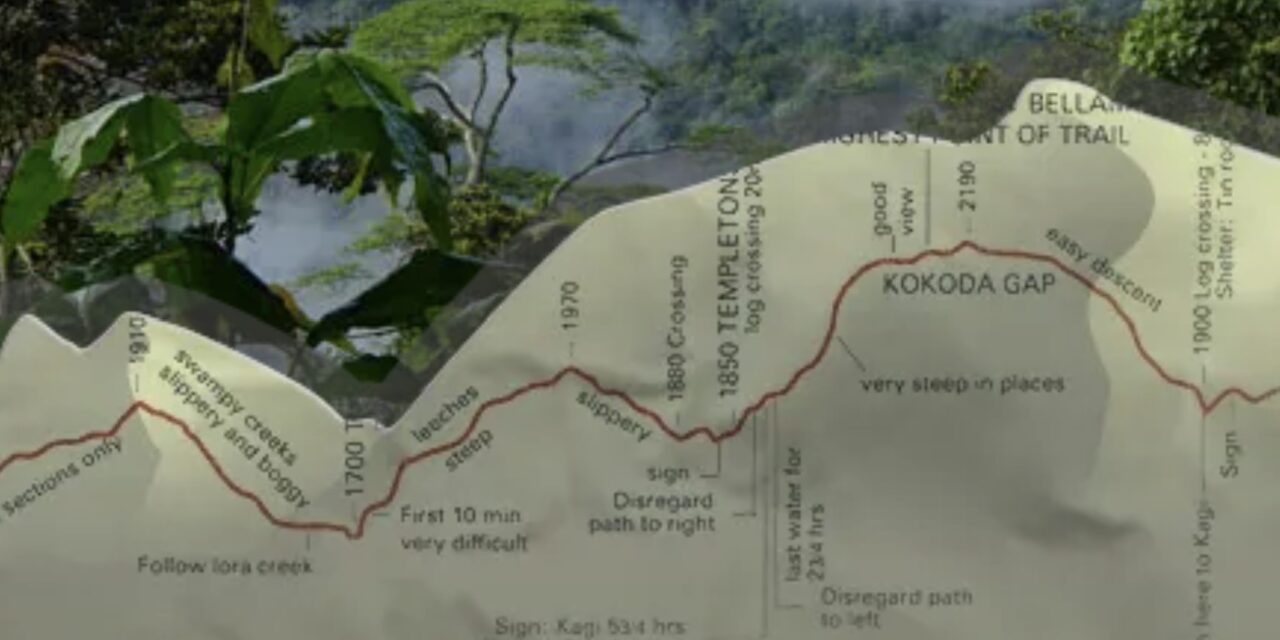
We now know the initial route was expanded after the discovery of Lake Myola and altered over time with the relocation of villages. Today the Kokoda Trail is a combination of tracks which were part of the Kokoda campaign – advances in GPS technology have allowed them to be accurately mapped.
The PNG Government is now in a position to realize the vision of their founding fathers by acquiring the Kokoda Trail routes as a national tourism asset under the provisions of the Lands Act.
This would solve the intractable problem associated with customary land ownership which has led to closures of the Trail over local grievances since the Kokoda Track Authority was proclaimed in 2003.
It has culminated in the latest illegal blockade by disgruntled Port Moresby based landowners which has shut down PNGs most popular tourism destination at a cost of more than K2 million in lost jobs and other earnings for village-based communities across the Trail.
It has also damaged PNGs international reputation as a reliable tourism destination!
Previous social mapping studies have revealed the positive identification of landowners is too complex in view of inter-clan marriages and the drift of villagers from traditional land to Port Moresby settlements over recent decades.
The acquiring of the Kokoda Trail as a national tourism asset is akin to acquiring land for a national highway which inevitably provides access to markets and other economic opportunities for nearby village communities.
Other departmental turf wars between Provisional and Local Level Government (DPLLGA); the Conservation Environment Protection Authority (CEPA, and the Tourism Promotion Authority (TPA) would also be resolved due to a clearer delineation of geographic boundaries and Ministerial responsibilities.
The stage would then be set for the Kokoda Trail to achieve its potential as a world-class pilgrimage tourism destination for the sustainable economic benefit of traditional landowner communities adjacent to it.


