
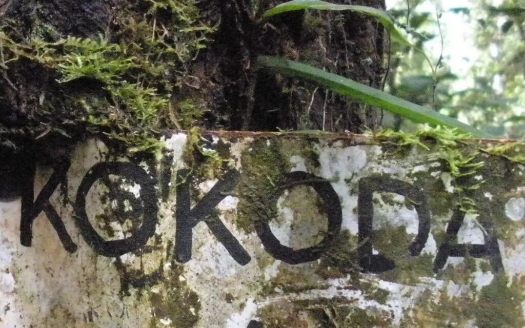
- ‘Kokoda Trail’ is the name of the Battle Honour awarded to the Papuan Infantry Battalion by the Commonwealth Battles Nomenclature Committee in 1953 – it is also the official name proclaimed by the PNG Government in 1972 (PNG Government Gazette No. 88 of 12 October 1972, page 1362, column 2. Notice 1972/28 refers).
- Prior to World War 11 the Kokoda Trail was a mail route used by villagers to carry documents across the Owen Stanley Ranges on bush tracks connecting remote villagers between Sogeri and Kokoda – mail exchange points were established to allow carriers to swap loads with others coming from the opposite direction and return to their villages.
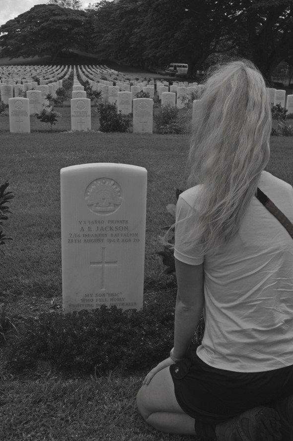
- The Kokoda campaign was fought between the advancing Japanese army and Australian troops across the Kokoda Trail from 29 July – 2 November 1942.
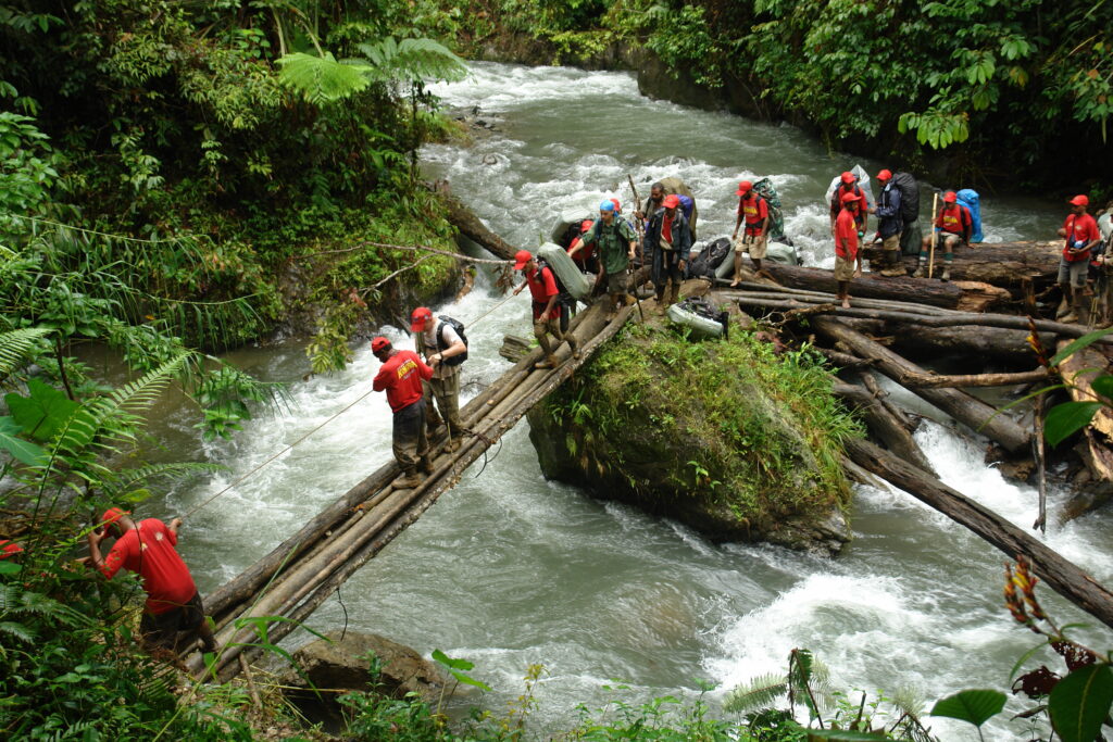
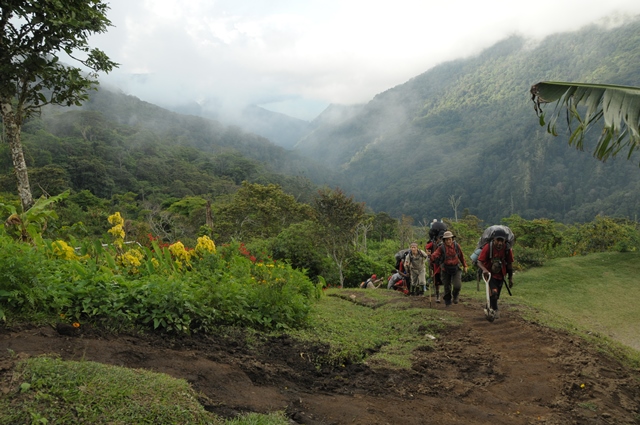
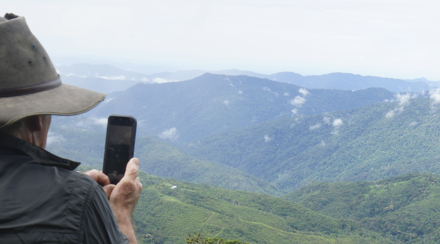
- The length of the Kokoda Trail is 135 km with a total climb of 7150 m and a total descent of 7570 from Owers Corner to Kokoda.
- The boundary between Central Province and Oro Province is Templeton’s Crossing which is 80 km from Owers Corner and 55 km from Kokoda.
- The highest point of the Trail is 2320 m east of Mt Bellamy between Lake Myola and the Kokoda Gap.
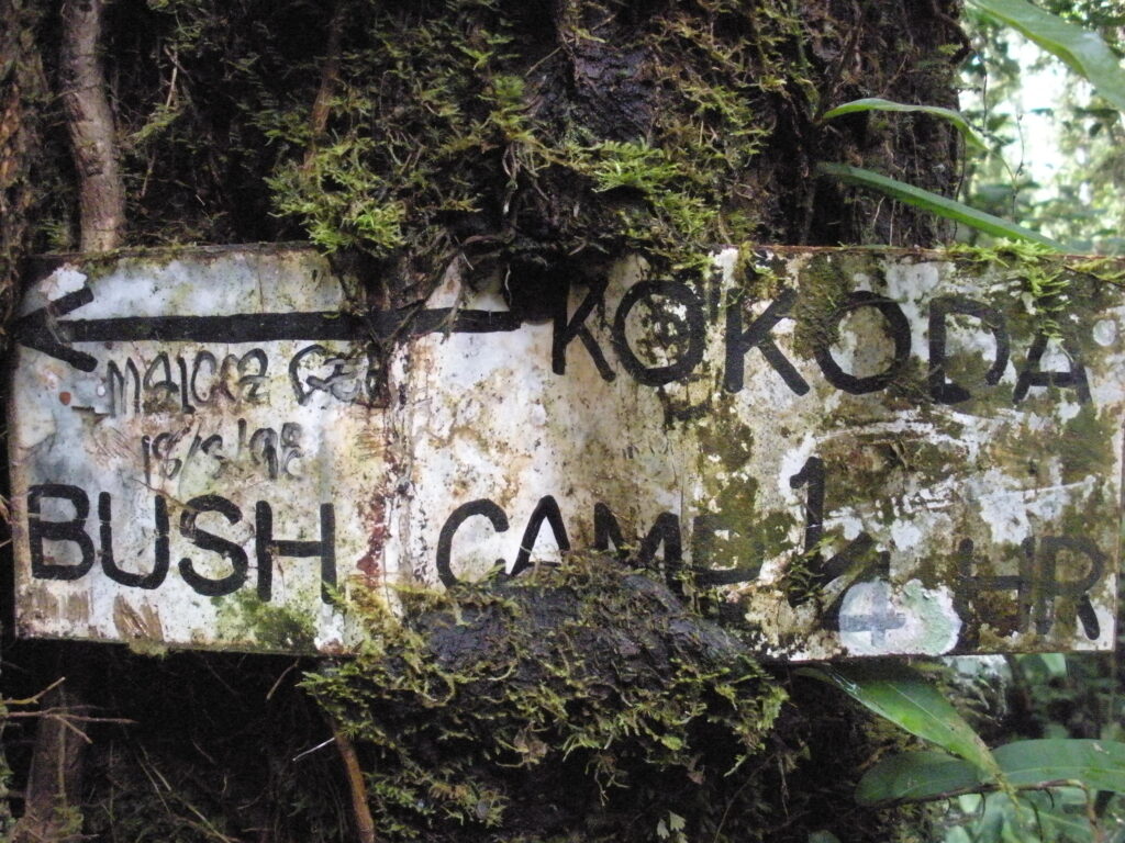
- The major battles fought during the Kokoda campaign were on Ioribaiwa Ridge, Brigade Hill, Templeton’s Crossing, Eora Creek, Isurava, Deniki and Kokoda.
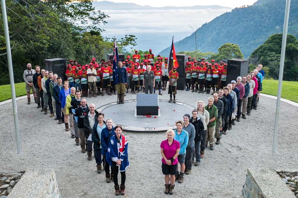
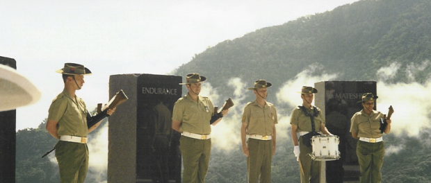
- The memorial at Isurava was officially opened by Prime Ministers’ John Howard and Sir Michael Somare on 26 August 2002, the 60th anniversary of the battle.
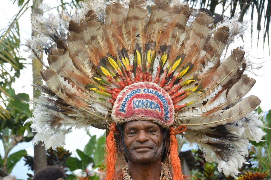
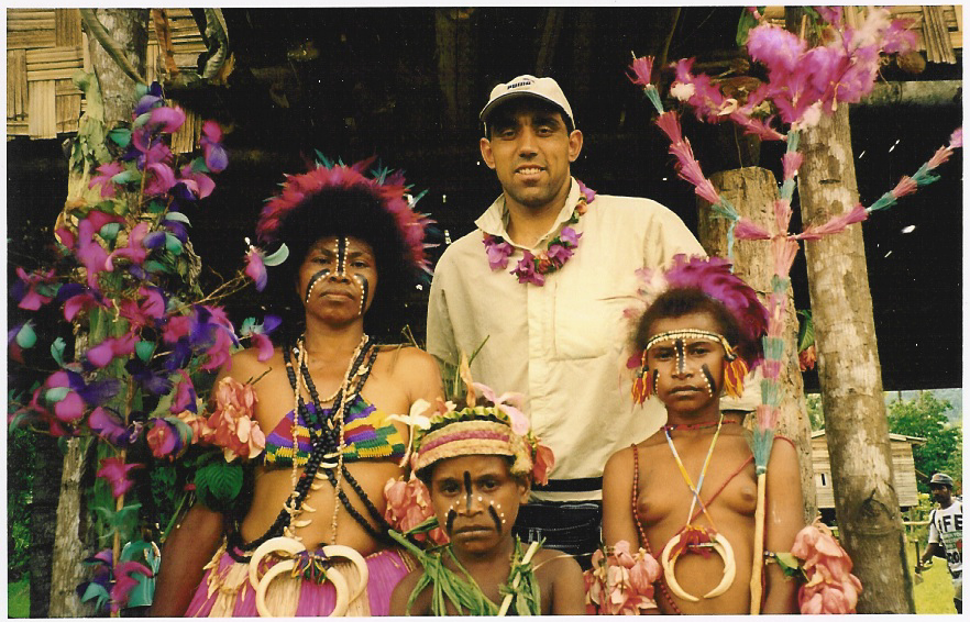
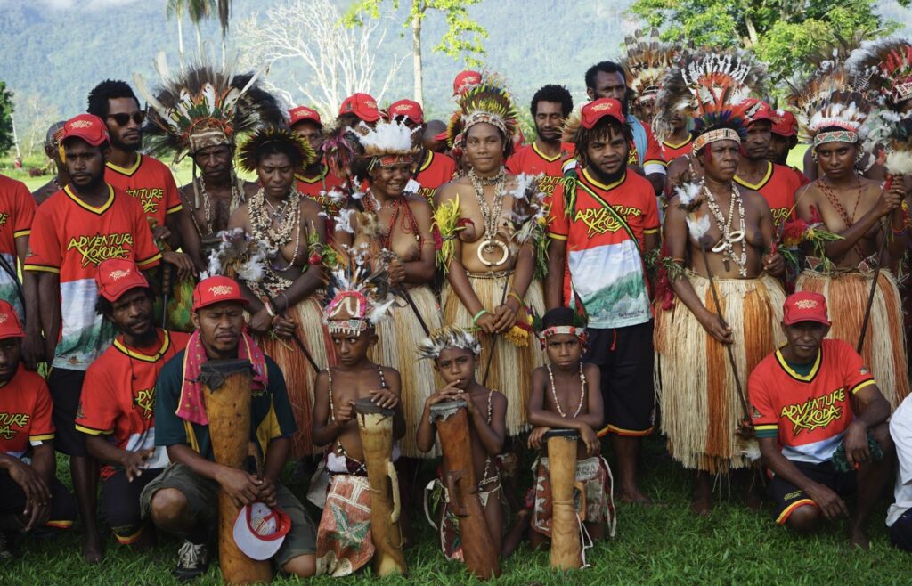
- The traditional landowners of the Kokoda Trail are the Koiari people between Owers Corner and Templeton’s Crossing, and the Orokaiva between Templeton’s Crossing and Kokoda.
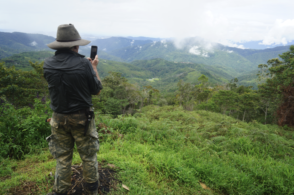
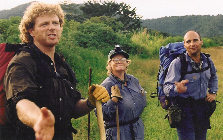
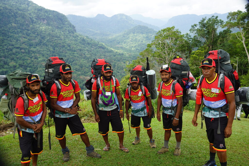
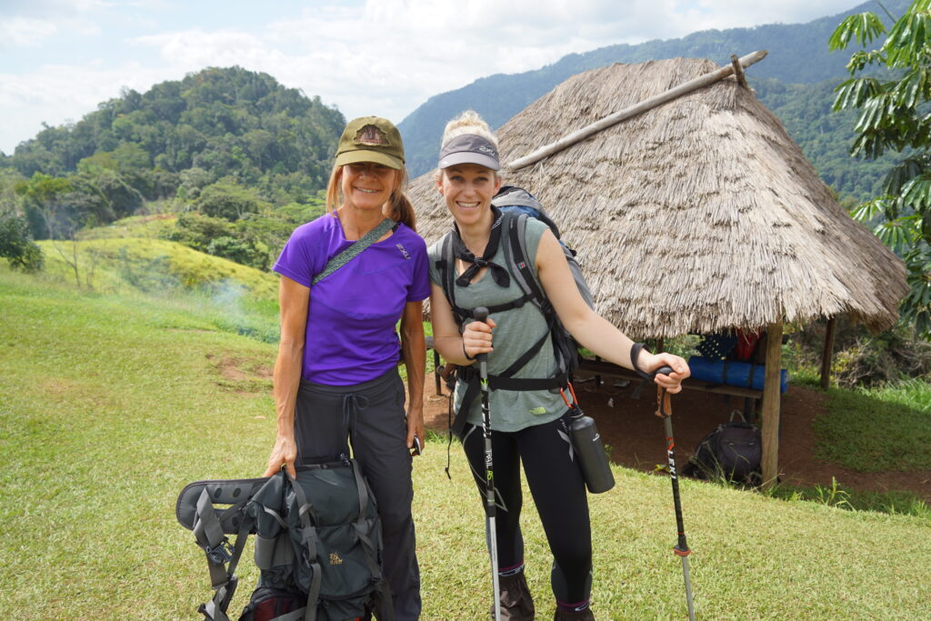
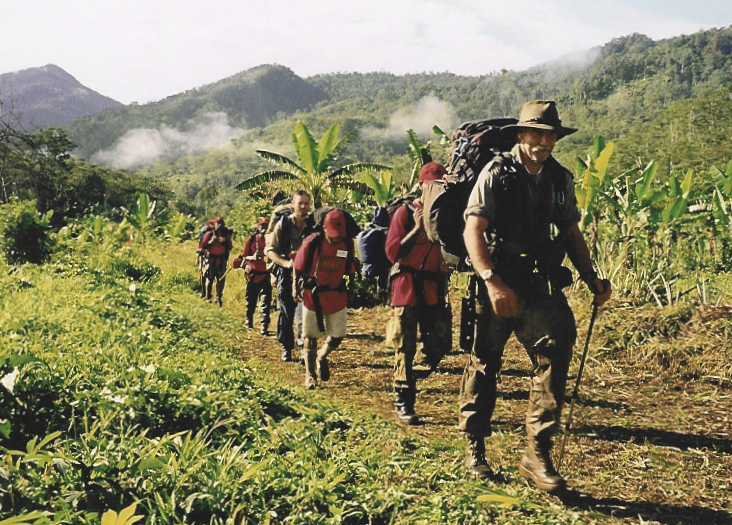
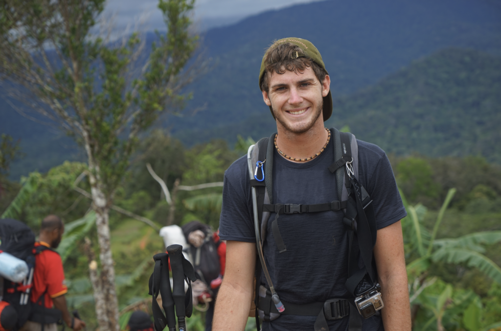
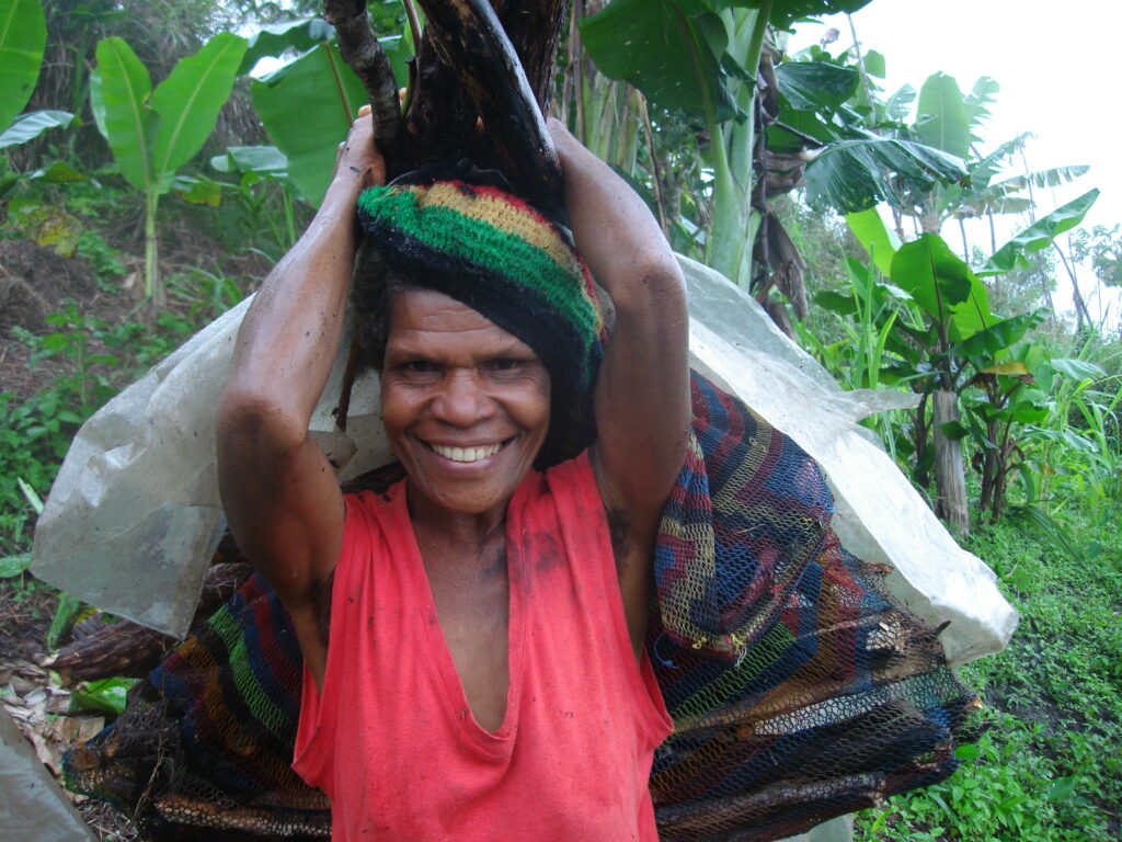
- The Kokoda Trail is now PNGs most popular tourism destination.


